Steve's Cottonwood Canyons
Weather DashboardTM
Updated June 28 @ 2:10 am
Summary
Cottonwood Canyons
June 28 @ 2:10 am
Learn how you can have Alexa read this report to you.
Current Conditions
It's Paul Bunyan Day! At 2:00 am, the temperature near the top of Brighton's Crest chairlift was 36 degrees.
Weather Forecast
The Cottonwood Canyon weather forecast for overnight is, "Cloudy. Low around 34, with temperatures rising to around 39 overnight. West northwest wind around 7 mph." For Sunday the forecast is, "A chance of snow showers before noon, then a slight chance of snow showers and a slight chance of thunderstorms. Partly sunny, with a high near 41. West wind 6 to 9 mph. Chance of precipitation is 30 percent ."
Avalanche Forecast
There isn't any snow or avalanche information.
News Alerts
Cottonwood Canyons
June 28 @ 2:10 am
No road alerts or backcountry closures were detected.
7-Day Forecast
Cottonwood Canyons
June 27 @ 11:31 pm
Overnight: Cloudy. Low around 34, with temperatures rising to around 39 overnight. West northwest wind around 7 mph.
Sunday: A chance of snow showers before noon, then a slight chance of snow showers and a slight chance of thunderstorms. Partly sunny, with a high near 41. West wind 6 to 9 mph. Chance of precipitation is 30%.
Sunday Night: A chance of snow showers after midnight. Partly cloudy. Low around 29, with temperatures rising to around 31 overnight. Northwest wind 5 to 12 mph. Chance of precipitation is 30%.
Monday: A chance of snow showers before 9am. Sunny, with a high near 47. West southwest wind around 7 mph. Chance of precipitation is 30%. New snow accumulation of less than half an inch possible.
Monday Night: Mostly clear, with a low around 34. North northeast wind around 7 mph.
Tuesday: Mostly sunny, with a high near 52.
Tuesday Night: Mostly clear, with a low around 40.
Wednesday: Sunny, with a high near 58.
Wednesday Night: Mostly clear, with a low around 44.
Thursday: Sunny, with a high near 63.
Thursday Night: Mostly clear, with a low around 48.
Friday: Sunny, with a high near 62.
Friday Night: Mostly clear, with a low around 45.
Independence Day: Sunny, with a high near 62.
View the 12/24-hour, 48-hour, or 7-day forecasts.

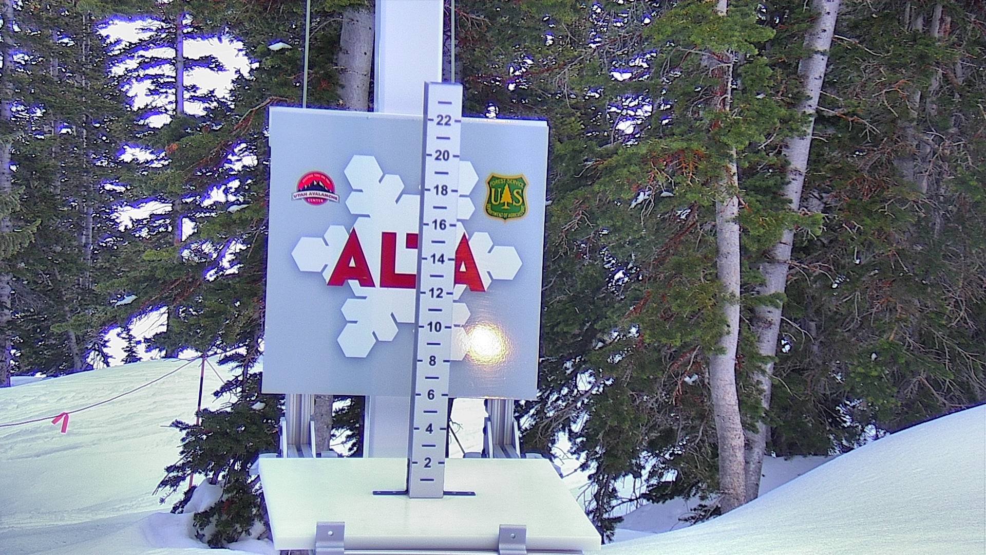
Current Temperature
| Alta June 28 @ 2:00 am | Brighton's Crest June 28 @ 2:00 am |
Avalanche Rescue
Training Resources
Cameras

Tap sides of this photo to change cameras.
Enlarge this photo.
Additional cameras:
Alta, Brighton, Snowbird, Solitude, and UDOT.

More Info
Do Something?
A gondola? Reduced bus service? Interconnect? Do you give a shit or are you just another a selfish consumer? Befriend LCC.
Avalanche Rescue
Be a good partner. Visit AvyRescue.com and watch the videos.
The Backcountry Guide
The Wasatch Backcountry Skiing Guide provides information on hundreds of backcountry ski locations.
Amazon Alexa
Learn how you can have Alexa, Amazon's talking assistant, read this report to you.
The Backcountry Map
The Wasatch Backcountry Skiing Map is available on your desktop, on your mobile device, and as waterproof and wall maps.
The Inclinometer
Check out Steve's Badass Avalanche Inclinometer.
The following information was not displayed because the data was not available: avalanche forecast, 12/24-hour winter forecast, 30-day snow depth, 48-hour snow depth and 24-hour wind.