Steve's Cottonwood Canyons
Weather DashboardTM
Updated August 2 @ 1:30 pm
Summary
Cottonwood Canyons
August 2 @ 1:30 pm
Learn how you can have Alexa read this report to you.
Current Conditions
At 1:00 pm, the temperature near the top of Brighton's Crest chairlift was 73 degrees. Winds on Cardiff Peak are averaging 11 mph out of the south-southwest with gusts to 22.
Weather Forecast
The Cottonwood Canyon weather forecast for This Afternoon is, "Patchy smoke. Sunny, with a high near 75. Southwest wind around 10 mph." For tonight the forecast is, "Patchy smoke. Mostly clear. Low around 54, with temperatures rising to around 56 overnight. West southwest wind 5 to 8 mph."
Avalanche Forecast
There isn't any snow or avalanche information.
News Alerts
Cottonwood Canyons
August 2 @ 1:30 pm
No road alerts or backcountry closures were detected.

7-Day Forecast
Cottonwood Canyons
August 2 @ 11:31 am
This Afternoon: Patchy smoke. Sunny, with a high near 75. Southwest wind around 10 mph.
Tonight: Patchy smoke. Mostly clear. Low around 54, with temperatures rising to around 56 overnight. West southwest wind 5 to 8 mph.
Monday: Patchy smoke. Sunny, with a high near 68. Northwest wind 5 to 10 mph.
Monday Night: Patchy smoke before 9pm. Mostly clear, with a low around 50. North northwest wind 3 to 9 mph.
Tuesday: Sunny, with a high near 67. North northwest wind 2 to 9 mph.
Tuesday Night: Mostly clear, with a low around 48.
Wednesday: Sunny, with a high near 69.
Wednesday Night: Mostly clear, with a low around 51.
Thursday: Sunny, with a high near 73.
Thursday Night: Mostly clear, with a low around 54.
Friday: Sunny, with a high near 75.
Friday Night: Mostly clear, with a low around 58.
Saturday: Sunny, with a high near 75.
Saturday Night: Mostly clear, with a low around 57.
View the 12/24-hour, 48-hour, or 7-day forecasts.
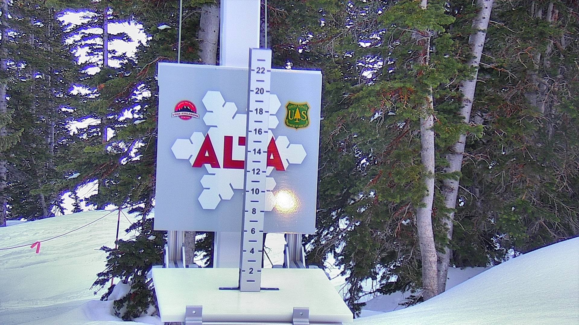
Current Temperature
| Alta August 2 @ 1:00 pm | Brighton's Crest August 2 @ 1:00 pm |
Avalanche Rescue
Training Resources
Cameras

Tap sides of this photo to change cameras.
Enlarge this photo.
Additional cameras:
Alta, Brighton, Snowbird, Solitude, and UDOT.

More Info
Do Something?
A gondola? Reduced bus service? Interconnect? Do you give a shit or are you just another a selfish consumer? Stop the gondola.
Avalanche Rescue
Be a good partner. Visit AvyRescue.com and watch the videos.
The Backcountry Guide
The Wasatch Backcountry Skiing Guide provides information on hundreds of backcountry ski locations.
Amazon Alexa
Learn how you can have Alexa, Amazon's talking assistant, read this report to you.
The Backcountry Map
The Wasatch Backcountry Skiing Map is available on your desktop, on your mobile device, and as waterproof and wall maps.
The Inclinometer
Check out Steve's Badass Avalanche Inclinometer.
The following information was not displayed because the data was not available: avalanche forecast, 12/24-hour winter forecast, 30-day snow depth and 48-hour snow depth.